I’ve written about flying taxis over the past few weeks – but time to put your feet back on the ground. Let’s revisit autonomous vehicles – driverless cars to be precise. Have you ever wondered how the cars are programmed to navigate their way around cities? They need maps, but not maps like Google maps or navigation assistants – they need detailed information on infrastructure. Items like streets signs, perhaps potholes or the standard of surfaces, all sorts of peripheral information beyond just the road and route they’re driving taking. And here’s the challenge – how do you collect so much detail? (Even Google Street View is only updated every few years). You crowdsource. You enlist people, not robots (because they’re going to need this information too).
Crowdsourcing maps is not a new concept. In the UK, Fix My Street has been around since 2008, and used by residents to notify their councils of problems that require fixing. All these initiatives are enabled by our smartphones: take a photo, upload to a site where the information is processed.
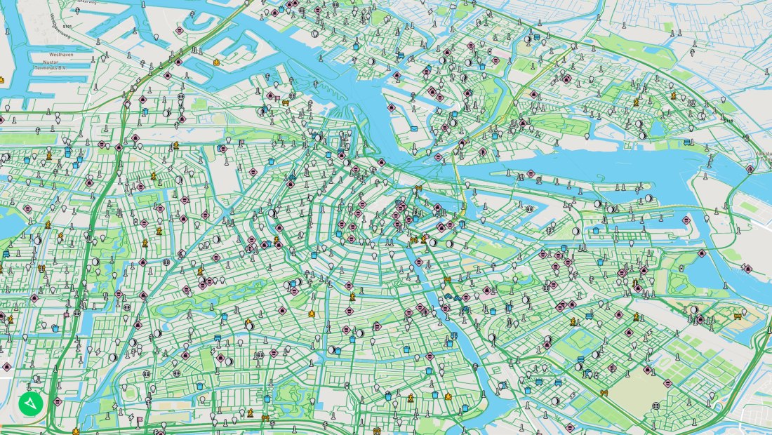
In this article, Mapillary, are using these photos to build databases of street-level imagery all over the world.
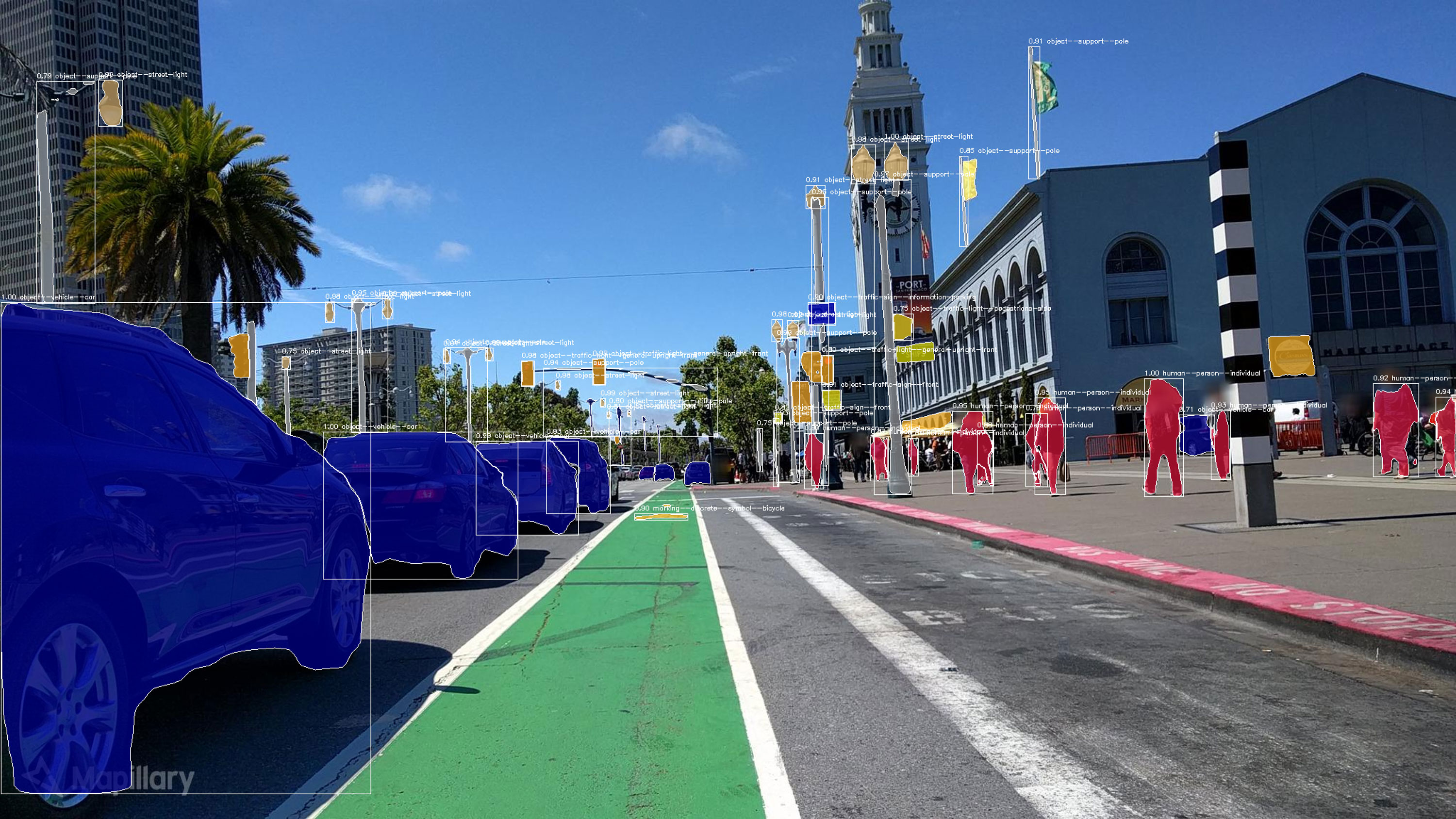
“Mapillary uses computer-vision software to analyze the crowdsourced images and identify objects. Its database of 422 million images covers 6.2 million kilometers (3.9 million miles) of the globe. And it’s growing all the time: its software has just put 186 million objects, like utility poles, benches, and manhole covers, on the map, locked to a specific location with coordinates.”
That’s an enormous amount of data and the ongoing input (from the crowd) and processing of this data will require sophisticated processing systems and resources. At this point, I’d like to raise a few questions (concerns). Who owns this raw data? Clearly uploading it to a proprietary site is likely to pass ownership to that site. Sites like Fix My Street is contributing to the community, everyone benefits. Contributing to Mapillary, you could imply it’s for the common good, everyone benefits – except can we be sure of that? Firstly, our data is valuable and we seem to be prepared to give that away. But, our privacy and that of others in public places start to become more akin to surveillance. Can we be sure personal data and identities are being de-identified? The raw data must still exist somewhere – is this secure? Really secure?
Then, perhaps we’re past that point. And perhaps contributing to the broader community usage – as highlighted in the article – could be used for accessibility for disabled people. While Mappillary is providing their maps free of charge to charities and educational institutions, they charge the use of the maps for commercial purposes. I’m not suggesting that Mapillary may be misusing any data, or have any intention to do so – their manifesto and team commitments in no way indicates misuse. But these days, with more and more data breaches and privacy abuse occurring, we need to consider how we can unwittingly be contributing to these situations.
Nonetheless, the technology advancements, community participation, and data now publicly available to create maps and information for autonomous vehicles are phenomenal. It’s also powerful data that we need to understand how it’s being protected and what impact might result if there is a data breach.
This post is part of a weekly Friday Faves series contributed by the team at Ripple Effect Group. Read the entire series and collections from other team members here.
